DRAFT - Pedosphere eTraining Landing Page
GLOBE Protocol eTraining
PROTOCOLS
Click a protocol name to view the training and assessment for that topic.
Time Requirement 1.5 hours
Time Requirement 1.5 hours
Step-by-step instructions for collection data according to the protocols.
Depth Profile Soil Moisture protocol Field Guide (pdf)
Gravimetric Soil Moisture Protocol Lab Guide (pdf)
Before you begin
Safety first!
Make sure the site is safe for digging. Coordinate with local utility companies and school maintenance staff to make sure you do not dig into utility cables, gas pipes, water, sewer, or sprinkler systems.
Select your site
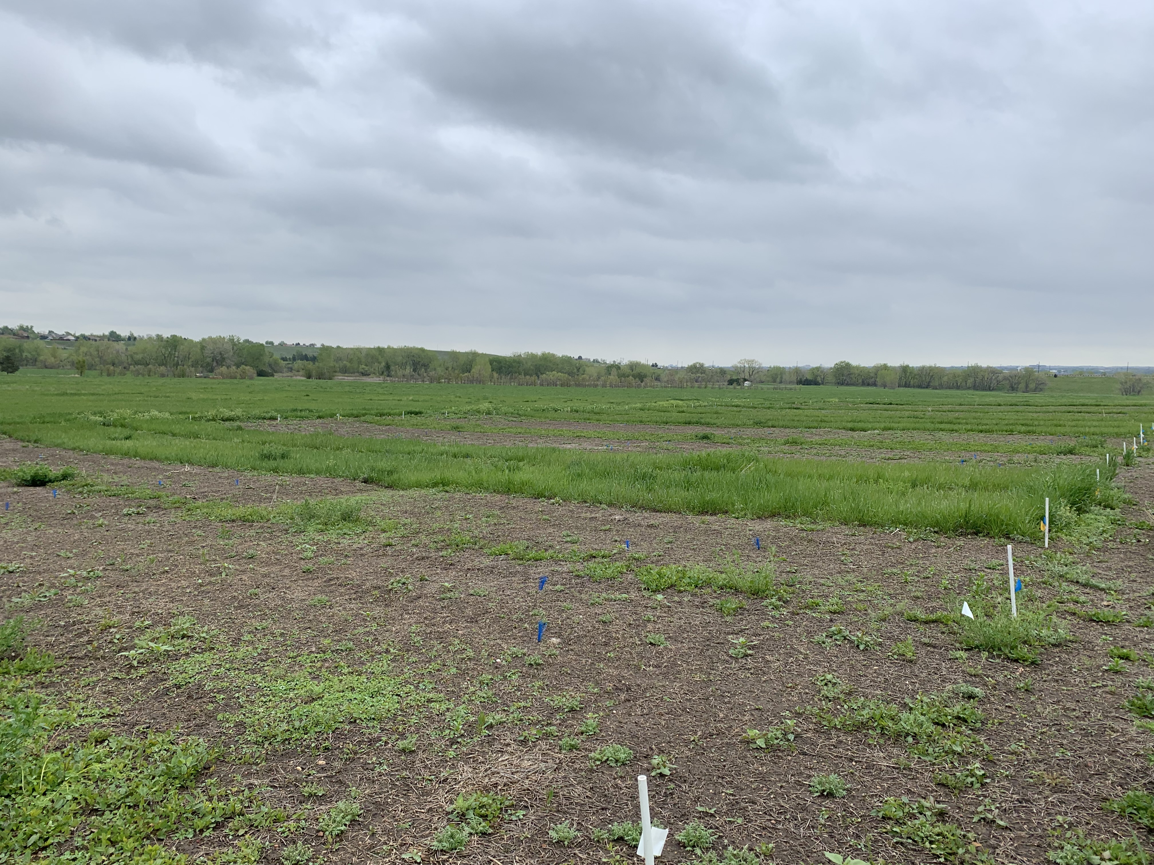
What do you notice about the grassy area in the foreground of this image? Do you think that it would be a suitable site to take soil measurements?
Answer: Yes, this site meets the criteria for a soil study site. Note how it is typical for the area.
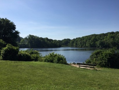
Image courtesy, Izolda Trakhtenberg
|
Ideal
|
Acceptable
|
Unacceptable
|
|---|---|---|
|
Site is representative of the local landscape |
||
|
Ground cover is natural vegetation |
Lawns, agricultural sites, or other managed landscapes |
Ground cover is very different than the surroundings |
|
Relatively undisturbed |
Some disturbance |
Broken or packed ground |
|
At least three meters from buildings, roads, paths, and playing fields |
Immediately adjacent to human activity |
|
|
Near an atmospheric measuring station |
||
|
Oriented so that the sun shines on the soil profile at the time students carry out the soil characterization measurements |
Existing exposed profiles that are in shadow or pits dug under tree canopies |
Exceptions
If you are not able to safely investigate a site that meets these criteria, simply report the exceptions as part of your site definition.
Selecting, Exposing, and Defining a Soil Characterization Site (pdf) >
Initial Measurements
Describe Your Site
- Observe and describe your site before you conduct your soil investigation.
- Record the site characteristics. At a minimum, these include the following. (See the Soil Characterization eTraining to learn about additional measurements.)
- Surface state
- Surface cover
- Canopy cover
- Take landscape photographs of the site to the North, East, South, and West of the profile.
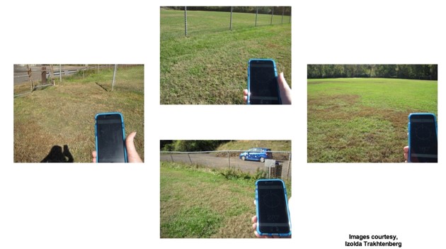
Soil Characterization protocol Field Guide (pdf) >
Handling Data
View resources on GLOBE data entry
Soil Moisture Is Important Because It Affects:
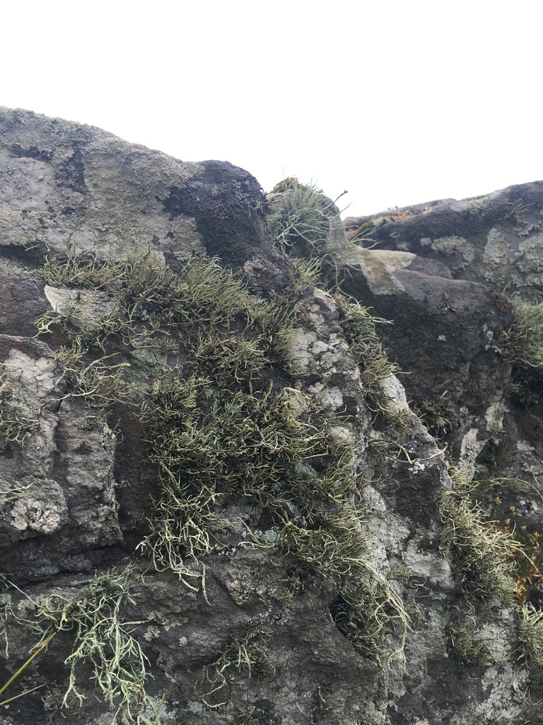
Plant Nutrient Uptake
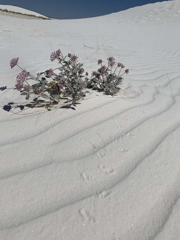
Water for Plant Use
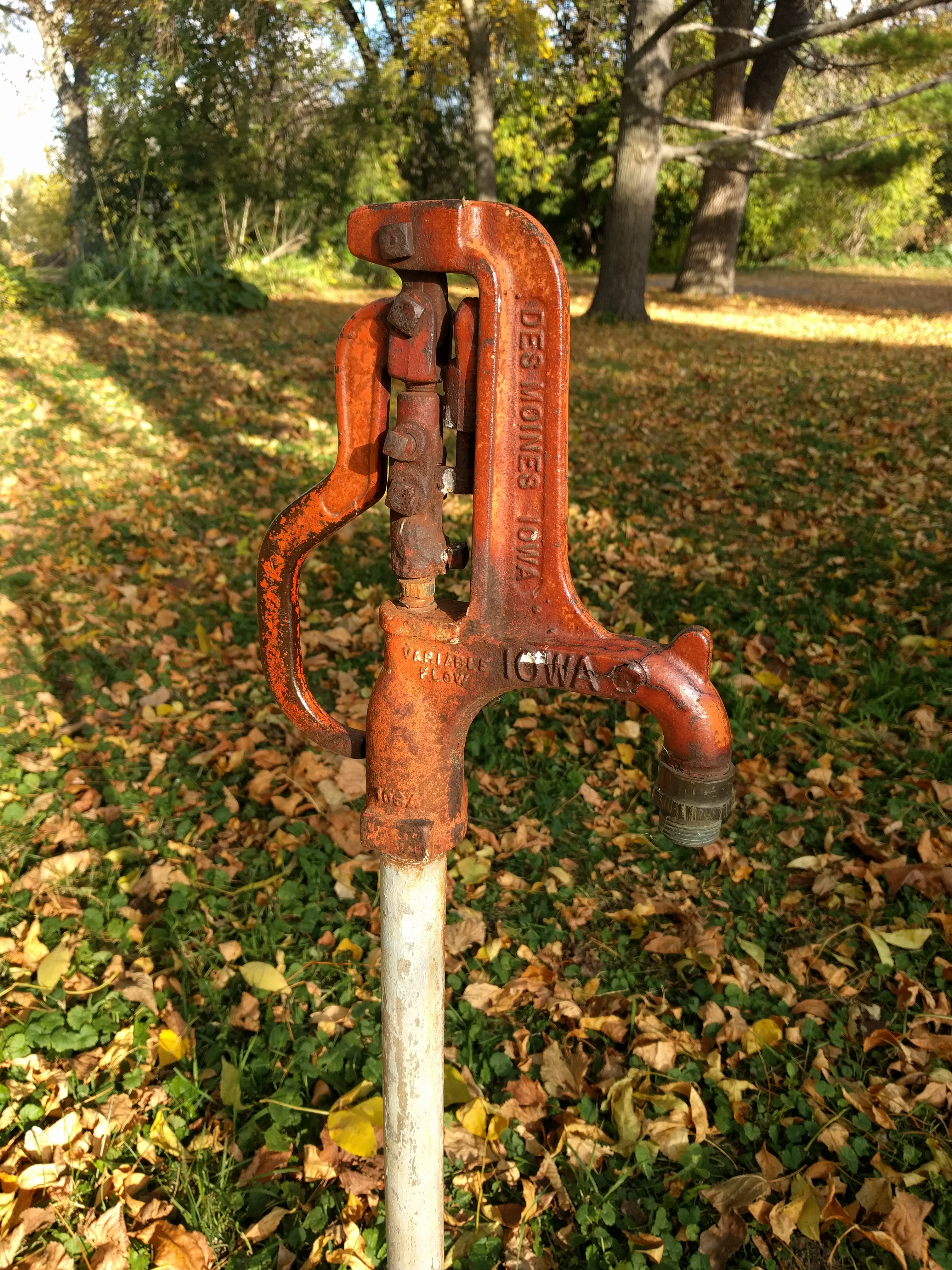
Water Storage
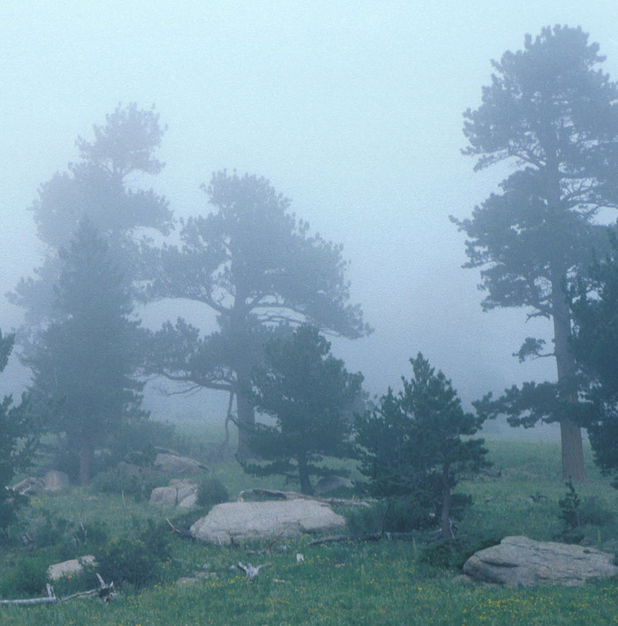
Atmospheric Humidity
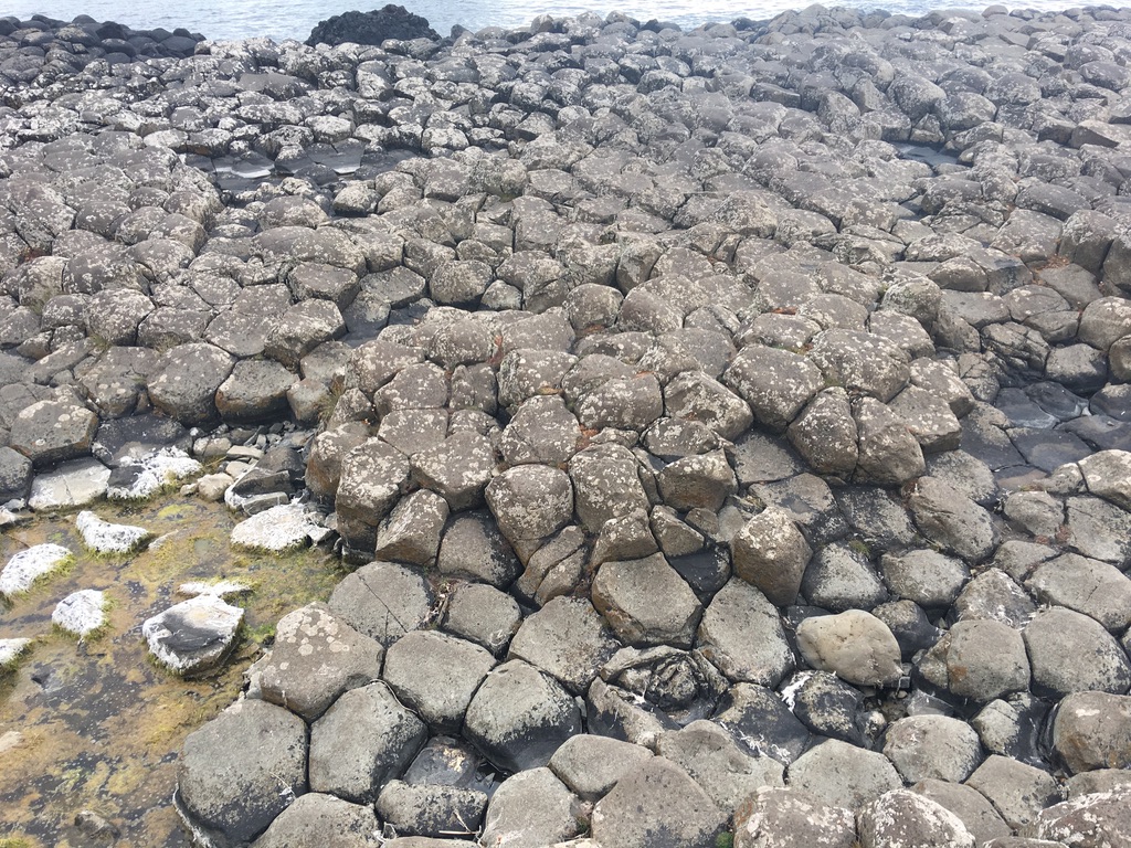
Weathering
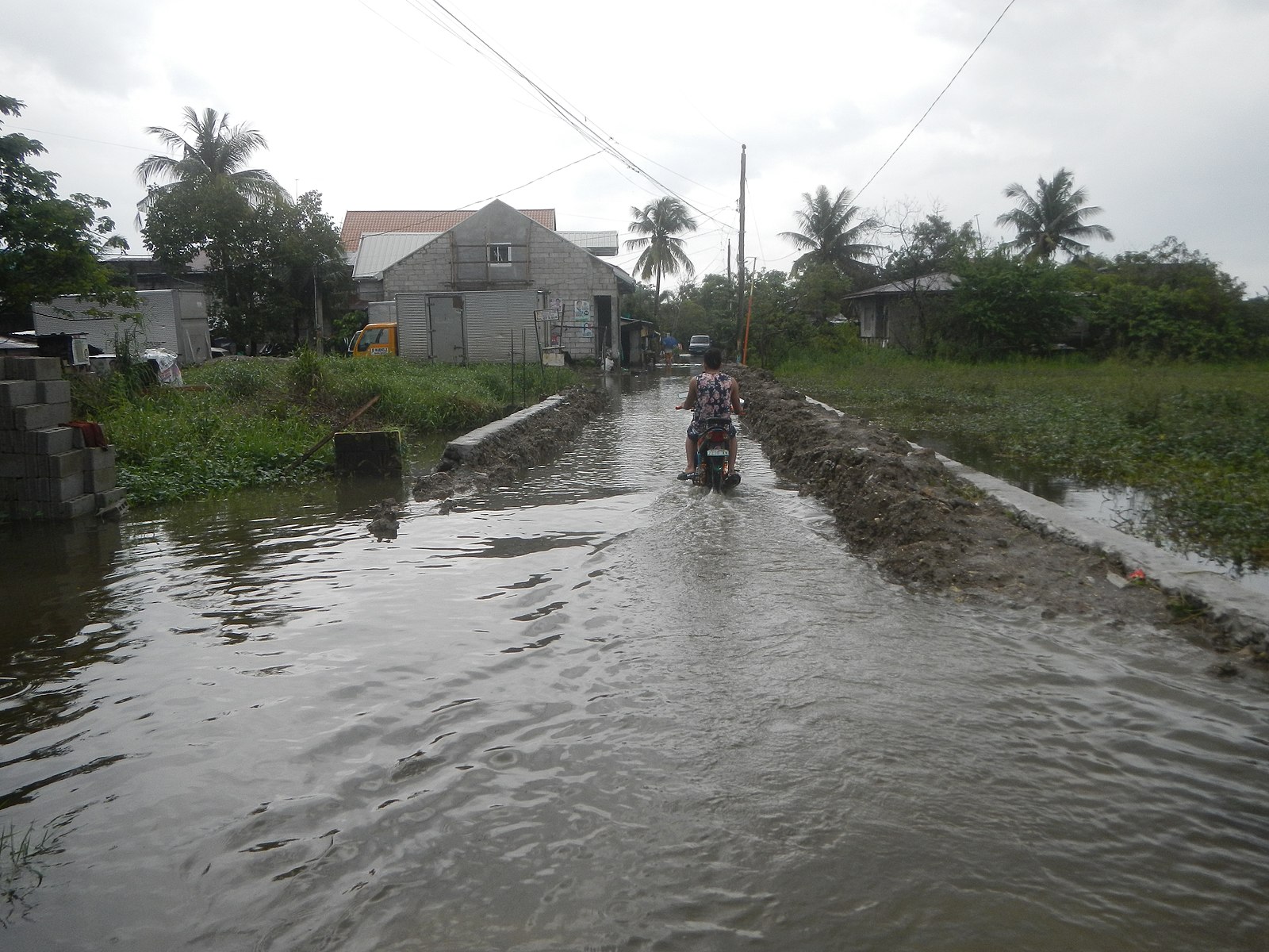
Flooding
Soil acts like a sponge spread across the land surface. It absorbs rain and snowmelt, slows run-off and helps to control flooding. The absorbed water is held on soil particle surfaces and in pore spaces between particles. This water is available for use by plants. Some of this water evaporates back into the air; some of this water is transpired by plants; some drains through the soil into groundwater.
Why is it important?
By studying the soil in your area and reporting these data to GLOBE, you will make an invaluable contribution to our knowledge of planet Earth.
As you take your soil measurements, remember that you are likely the only ones who will study your specific soil. For much of this critical information, there exists no other way to study the soil in your community. Your contribution to science will be important and unique.
Why is defining soil characteristics important?
Soil characterization is a fundamental step in describing and analyzing soil as part of the Earth system. The characteristics you identify will help to explain the role of the soil in exchanging matter and transferring energy with the atmosphere, biosphere and hydrosphere.
Soil characterization measurements are taken for many reasons, including:
- supporting the interpretation of soil moisture and temperature, land cover, and atmosphere measurements;
- complementing and extending land cover mapping;
- developing soil maps of a region; and
- providing information for computer modeling.
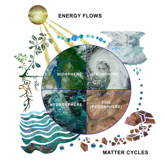
Image: Jenn Glaser and Russanne Low
Explore further: Earth as a system: Soils Bundle
Frequently Asked Questions (FAQs)
Feedback
Please provide us with feedback about this module. This is a community project and we welcome your comments, suggestions and edits! Comment here: eTraining Feedback
Do you have questions after reviewing this module? Please contact us at globehelp@ucar.edu.
Credits
Content: Izolda Trachtenberg, Dixon Butler, Russanne Low
Photographs: Izolda Trachtenberg
Soil Profile Photos: r. John Kimble and Sharon Waltman, USDA Natural Resources Conservation Service, National Soil Survey Center, Lincoln, Nebraska,
Illustrations: Rich Potter
Cover Art: Jenn Glaser, ScribeArts


