Aeropods - AREN Project
Open social media sharing options menu


AREN: Aeropods
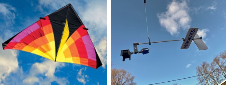
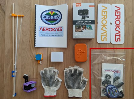
The AEROKATS program uses kites as a science platform for capturing data and images from an aerial perspective. The kites carry a NASA-patented technology called Aeropods that keep the instruments stable and aligned with the wind during flight. Aeropods carry instruments that allow for field missions using NASA-inspired AREN operations and GLOBE protocols.
To view data collected from AEROKATS, visit the AREN Mission Mapper.
To submit AEROKAT data, visit the AREN Field Data Collectory Survey Tool.
If you would like to view multiple videos on using AEROKATS, visit the AREN Video Links.
.
To view data collected from AEROKATS, visit the AREN Mission Mapper.
To submit AEROKAT data, visit the AREN Field Data Collectory Survey Tool.
If you would like to view multiple videos on using AEROKATS, visit the AREN Video Links.
.
Example Student Research Report Featuring Aeropod: An Analysis of Particulate Matter Data Collected by Monitoring at Various Altitudes Using Aeropod Technology
Related GLOBE Protocols and Bundles
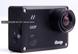
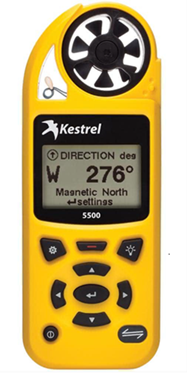
Instruments for Collecting Data
Git Up Camera
Kestrel Weather Meter
Parts and Instructions