Events - Gidakiimanaaniwigamig (Our Earth Lodge) - Nat'l Cntr for Earth-surface Dynamics
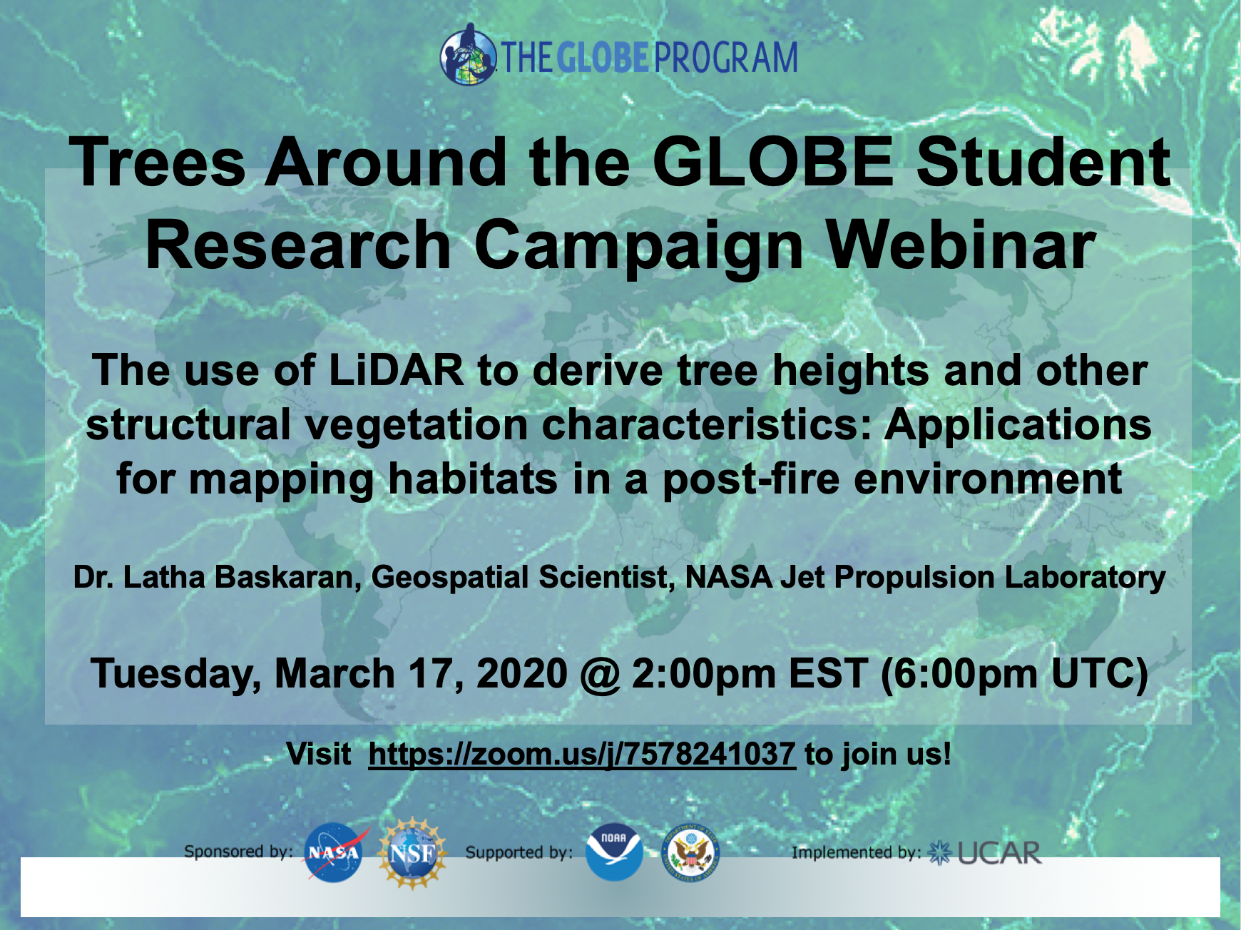
17 March: Trees Around the GLOBE Campaign Webinar “The Use of LiDAR to Derive Tree Heights and Other Structural Vegetation Characteristics”
Event Time: 2:00 pm - 3:00 pm
Location: Webinar

The Trees Around the GLOBE Student Research Campaign webinar “The Use of LiDAR to Derive Tree Heights and Other Structural Vegetation Characteristics: Applications for Mapping Habitats in a Post-fire Environment,” will be held on Tuesday, 17 March, at 2:00 p.m. EST (6:00 p.m. UTC).
Light Detection and Ranging (LiDAR) is an optical remote sensing technology that is helpful to measure forest biophysical and structural characteristics. Quantifying the vertical distribution of vegetation using LiDAR has many potential applications in forest management and biodiversity conservation. Some of the tree structural attributes derived from LiDAR, including tree height, crown diameter, and canopy density, can help characterize vegetation and map species habitat. During this webinar, participants will explore results from a study over the Angeles National Forest, where canopy height derived from LiDAR along with airborne imaging spectrometer data was used to map forest habitats in a post-fire environment.
To join the webinar, click here.
To learn more about the Trees Around the GLOBE campaign, click here.
Event Topics: Webinars type: globe-eventsEvents origin: GLOBE Implementation Office


