News - University of Arkansas
NASA eClips “Ask SME” Presentation Highlights the Enduring Significance of Satellite Data and Imagery in Making Our Planet a “Better Place”
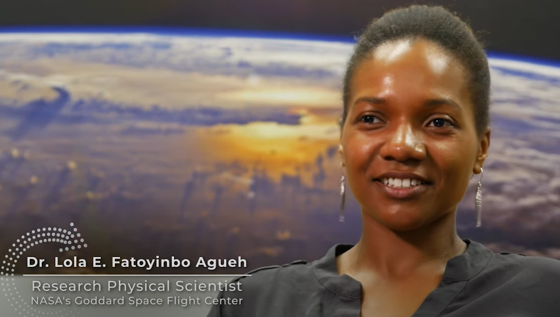
A recent NASA eClips presentation “Ask SME: Close-up with a NASA Subject Matter Expert: Dr. Lola E. Fatoyinbo Agueh” provides an intimate insight into the excitement and significance of collecting and analyzing satellite imagery and data.
“I use satellite imagery and satellite data to monitor forests on our planet. A lot of the work we do is observing our planet and kind of looking into the past and trying to predict the future using satellite data,” Dr. Agueh (Goddard Space Flight Center, Greenbelt, Maryland, USA) said. “We really care about the change because this is where we live; it’s our planet and we want to make sure that our planet is able to sustain us for many, many generations.”
“It’s really exciting to be at NASA. I think it’s a combination of excitement of discovery and also there is a feeling of purpose, like I feel like I’m actually helping and, hopefully, finding a way of making our planet a better place,” Dr. Agueh said.
To watch the video, click here.
GLOBE and NASA’s Satellite Missions
The GLOBE Program’s student research and field measurement campaigns – past, present, and future – provide an enduring connection, as well as ongoing contributions, to many of NASA’s satellite missions. GLOBE field campaigns are regional and worldwide projects that provide students with hands-on opportunities to explore and learn about Earth through a network of students, teachers, and scientists. GLOBE field campaigns are grounded in real science embedded in an inquiry-based, collaborative approach.
For example, students participating in the current Trees Around the GLOBE Student Research Campaign are comparing their tree data, as well as tree height data from the NASA GLOBE Observer citizen scientists, with NASA’s Ice, Cloud, and land Elevation Satellite-2 (ICESat-2) Mission, which launched in September 2018. ICESat-2 is using an on-board laser altimeter system to measure the height of Earth, including measurements of ice sheets, sea ice, trees, bodies of water, and mountains.
Scientists from the ICESat-2 Mission periodically review the tree height data collected by GLOBE and GLOBE Observer community members. The data helps scientists compare the GLOBE data to the ICESat-2 data and with potential professional research – allowing community members to, just like Dr. Agueh, participate in the excitement of discovery and to help find a way of making our planet a better place.
To learn more about the Trees Around the GLOBE Student Research Campaign, click here.
To learn about other current GLOBE measurement campaigns, click here.
News origin: GLOBE Implementation Office


