This is the second in a series about the science of Full Circle Superior; a walk around the world’s largest freshwater lake. You can read the first blog post here. My wife, Kate Crowley, and I determined that we would be the first couple to walk around this lake, trying to stay as close to the shore as possible. It was a commitment for two people in their sixties who wanted to leave a legacy for all grandchildren and to inspire people to be more conscious of the importance and threats to fresh water on our planet. Lake Superior holds 1/10th of all the fresh water on the surface of the planet. It took 145 days and 1555 miles to complete this journey.

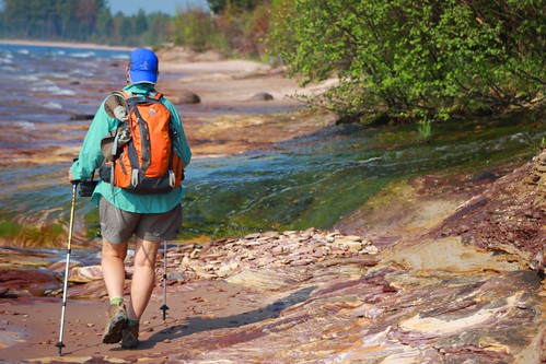
Walking Along Lake Superior
Studying the streams:
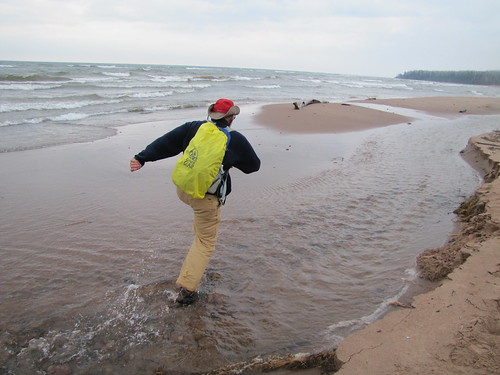
One of the goals of our trip was to understand more about streams connecting to Lake Superior. Our primary concern for streams had been how to get across them. Before we started the walk we tried to get some preliminary data to help us with logistics and one of those factors was how many streams we would cross. In our quest to determine that number, we began to realize how little is actually known about this massive water body that shares shoreline with two countries. The first estimate from a research facility was over 7000 streams. This was an amazing and overwhelming number, but soon someone sent a note saying – you will have to cross 350 rivers. This contrasting data will drive an expedition planner and a scientist crazy!. We went back to the original source and they recalculated saying there were actually 1754 streams and the rest were interfluvials. This term is actually an error since an interfluvial is the land between streams; the term they meant was seeps and springs – interflows. Our hike encountered all 1754 streams and we crossed in many different ways.
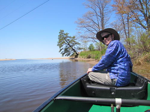
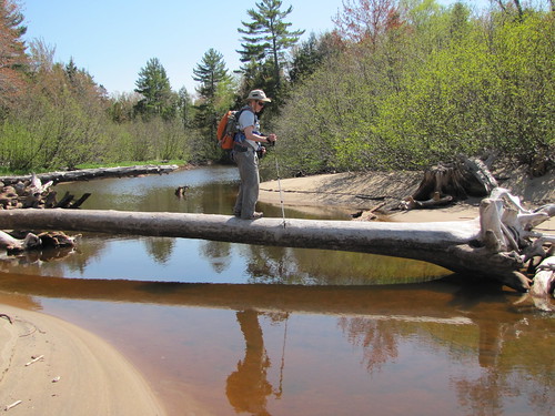
We waded many of the streams, but decided that waist deep was our limit. Sometimes we were able to stop our trek on one side one day and begin the next day on the other side. We also canoed across two in Michigan and two dozen in Ontario, walked out to bridges on many, and crossed on numerous logs or rocks! Some stretches of shoreline had more river crossing than others, with the Amnicon to Brule River section of the Wisconsin shore and the Porcupine Mountains to Ontonagon in Michigan being the most concentrated stretches; each with 18 streams in a single day of walking.

Canoeing Across a Stream

Using a Log to Cross a Stream
The Need for Research:
We had not thought about the fact that these streams, during low water stages, can become isolated from the lake by sandbars. As more uses are found for Lake Superior water and as potential diversion and climate change combine, it is possible that the streams might stop connecting with the lake altogether during their normal low water time and the nutrients from the stream and fry from the spawning game fish could become cut off. The spawning fish come in during high water, but if the spawn cannot return to the big lake, we will see our fisheries dramatically hurt.
We did our best to provide some meaningful information on streams connecting to Lake Superior, by measuring the width and depth of those we crossed; their GPS position, the time of day and date. These can then be matched with lake levels by research scientists and then projections can be made about low water threats. To this we added photographs of the stream mouths to provide a visual reference point and a comparison for future observers. This is something students can do on their river mouths. Photo records of the stream flow with dates and GPS points is good baseline data and can be combined with weather and climate data.

Running Across a Stream
Have you studied a stream in your area using GPS, photography, or GLOBE hydrology protocols? We would love to hear about your experiences! Either add a comment or send us an email at science@globe.gov.
